Notes·inside the loop
The Downtown Split: Where 70 and 71 Actually Cross in Columbus
A plain-English guide to where I-70 and I-71 actually split in downtown Columbus, what a driver sees in that stacked interchange, and why that crossing point organizes the city more than the shape of the 270 outerbelt.
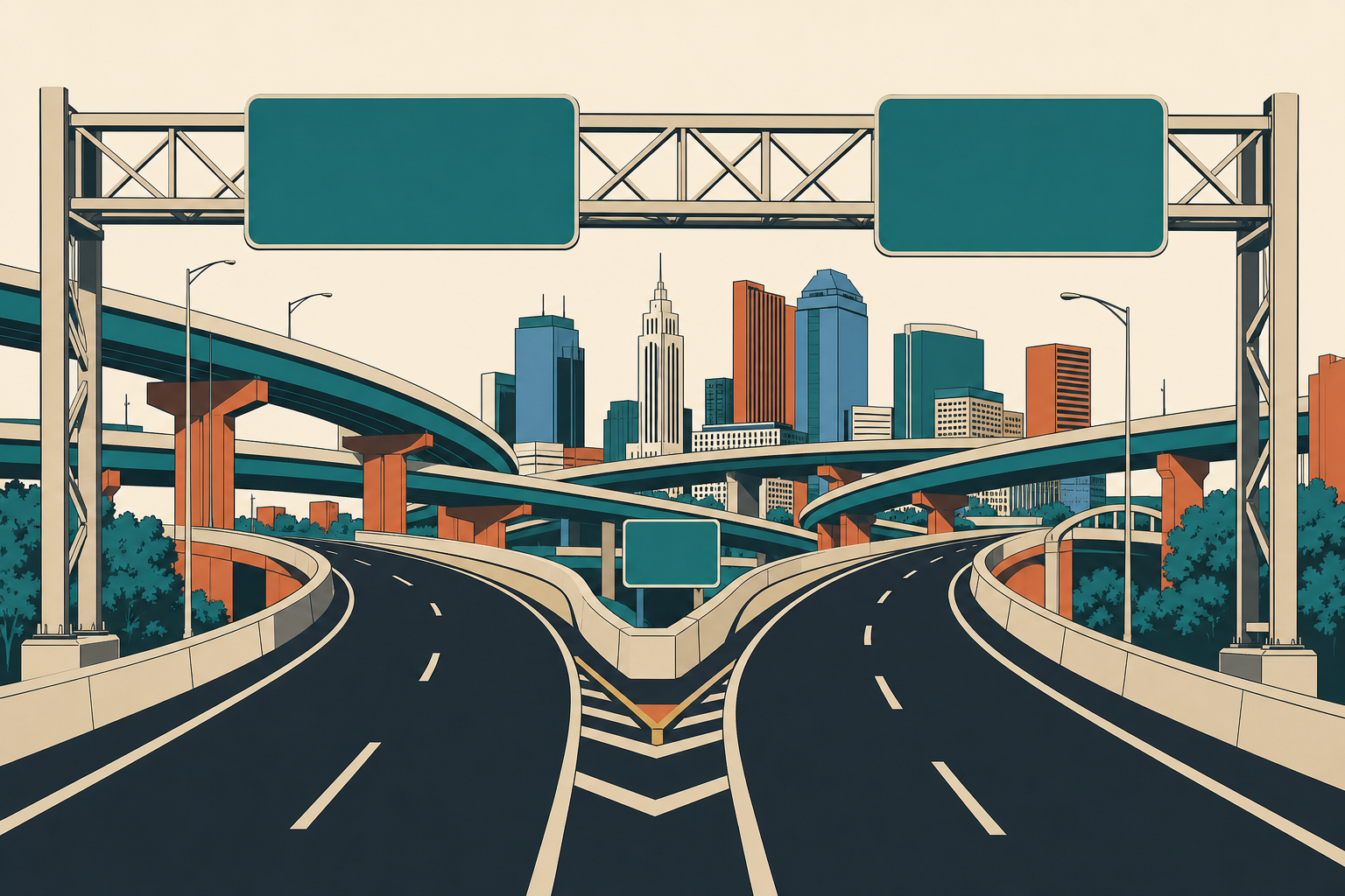
Where do 70 and 71 split in Columbus?
They split just south of downtown, in the stretch where both interstates run together on a shared, stacked roadway before peeling apart again. I-70 keeps going east-west, toward Dayton one way and Zanesville the other. I-71 keeps going north-south, up past Crew Stadium and Clintonville toward Polaris, or south toward Cincinnati. For about two miles, though, they are the same highway, stacked on top of each other, and that shared stretch is what locals mean when they say "the split."
If you only remember one thing: 70 is the east-west one, 71 is the north-south one. Everything else downtown is just working out which lane gets you onto the one you actually want.
What a driver sees in the split
Approach from the west on 70 and the road starts stacking before you expect it to. You pass the Brewery District, German Village is off to your right, and the highway goes from a normal two-level interstate to something closer to a layered sandwich: express lanes, local lanes, and ramps threading between them. The signage comes at you fast and in a specific order: 71 North to Cleveland, 71 South to Cincinnati, 70 East to Zanesville, 70 West to Dayton, all within a few hundred yards of each other.
This is not a gentle cloverleaf out in a field somewhere. It is a dense, vertical interchange wedged into a downtown street grid that was laid out a century before anyone built an interstate through it. Lane shifts happen with little warning. Barrel season is winding down this time of year, but even without active construction, this stretch rewards drivers who already know which lane they need two exits early, not one.
If you are the kind of driver who still has to think about which ramp is yours, you are not alone, and it is worth reading up on which way does 71 go through Columbus before you try this at 70 miles an hour during rush hour.
Why the split matters more than the loop's shape
People spend a lot of time on why 270 bends where it does, the east bulge toward the airport, the flat stretch up north. That is a fair question and worth asking. But 270 is just the edge. It tells you where the city stops.
The downtown split is where the city actually organizes itself. North of the split is north Columbus: Clintonville, Worthington, Polaris. South is south Columbus: German Village, Obetz, Rickenbacker. East of the split, down 70, is Reynoldsburg and points toward Zanesville. West is Hilliard and on toward Dayton. Nobody gives directions in this city by saying "inside the loop." They say "north of 70" or "the 71 side of town." That is the real dividing line, and it was built, not drawn.
The outerbelt encloses Columbus. The split is where Columbus decides which way you are facing.
How this shows up in the in270 mark
The in270 mark traces 270 itself, plus 70, 71, 670 and 315 running inside it, pulled straight from OpenStreetMap data under the Open Database License. Nothing gets smoothed out, including the split. The two interstates braid together just like they do on the actual road, stack over each other, then separate again, because that is what the map data shows happening at that exact spot south of downtown. A cleaner designer might have simplified that into two lines crossing at a right angle. We didn't, because that's not what's there. If you want the longer version of why the mark is built this way instead of drawn clean, the loop's shape has its own story worth reading.
It is not the official symbol of Columbus. It never claims to be. It is the one people chose, because it is the one that actually matches what you see from the car.
Using this to actually get around
Next time you are headed downtown and need to pick a lane before the stack hits, remember the short version: 70 crosses east-west, 71 runs north-south, and the split is the few miles where both share pavement before going their own ways. Know which one you need before you are in the thick of it, not after.
If you are newer to the city and still working out which exit on the outerbelt actually owns your daily drive, that is a separate but related question, covered in your real exit isn't always your home exit.
Download the mark and see the real 70/71 split rendered exactly as it interchanges, not simplified, at /mark. If you run a shop inside the loop, you qualify for a free window cling, no catch, we bring it by.
Questions people ask
- Is I-70 east-west or north-south in Columbus?
- East-west. I-70 runs across the bottom half of downtown Columbus, connecting to Dayton and Springfield to the west and Zanesville and Wheeling to the east. It crosses under and around 71 just south of the core downtown grid, near the Brewery District and German Village.
- Which way does 71 go through Columbus?
- North-south. I-71 runs along the east edge of downtown, then straightens out and heads due north past Crew Stadium, Clintonville and up toward Polaris and Worthington. South of downtown it continues toward Cincinnati. For the full breakdown, see [Which way does 71 go through Columbus?](/blog/which-way-does-71-go)
- What is the downtown split in Columbus?
- The downtown split is where I-70 and I-71 run together on a shared, stacked stretch of highway through the south side of downtown before separating again, one heading north, the other continuing east or west. It is the busiest and most confusing few miles of interstate in the city.
Drawn from the map. Map data from OpenStreetMap contributors. Open Database License.