Notes·the loop
Why the in270 Mark Looks Hand-Drawn (Because It Is)
The in270 mark looks rough because it's traced straight from OpenStreetMap's I-270 path data, bulges and flat sides included, and the license forbids smoothing it into a neater shape.
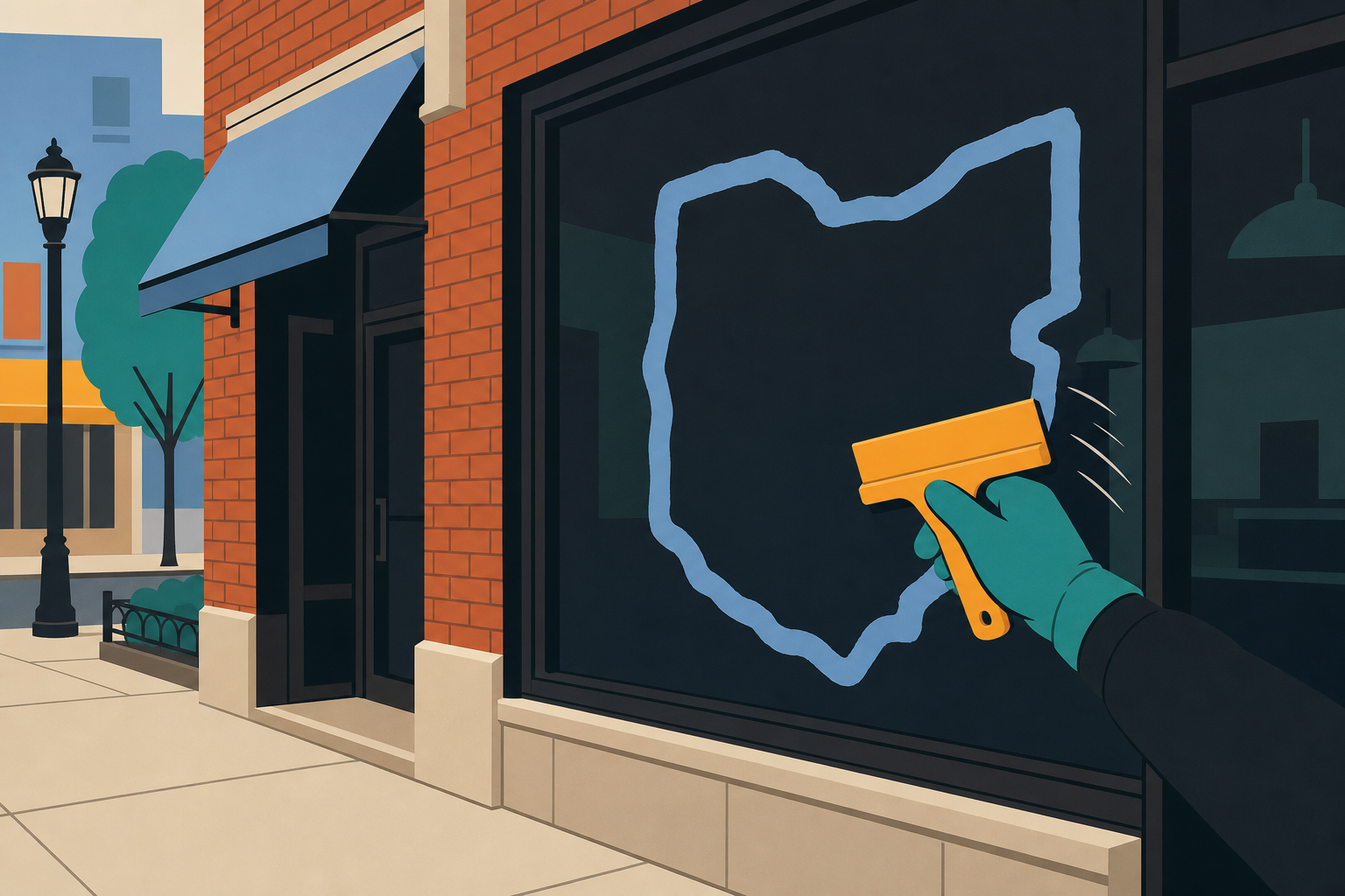
Why isn't the Columbus outerbelt logo a perfect circle?
Because I-270 isn't a circle. The in270 mark is traced directly from OpenStreetMap path data for the actual outerbelt, pulled by contributors under the Open Database License, and never smoothed into a nice round badge. The bulge toward the airport is real. The flat stretch up north is real. The hook down by Grove City is real. If you've driven the loop, you already know the shape. The mark just draws it honestly instead of cleaning it up.
That's the whole point, and it's worth explaining why, because most logos work the opposite way.
What are the specific bends people already know from driving?
Three stretches do most of the work in making the loop look, at first glance, like a mistake.
On the east side, 270 doesn't hug a tight radius the way you'd expect. It bulges outward, swinging wide to get around the airport. If you've merged onto 270 near Gahanna or come down through the Easton interchange, you've felt that wide arc. It's not a design choice. It's where the road actually goes.
Up on the north side, between roughly Worthington and New Albany, the loop flattens out. Instead of curving smoothly the way the west and south sides do, it runs straighter for longer, almost like someone pressed down on that part of the circle. Again: not a rendering error. That's the north side of I-270.
And down in the southwest, near Grove City, the loop hooks in a way that breaks the symmetry a designer would normally impose. Drivers who take that stretch regularly know the bend by feel before they'd ever recognize it on a map.
We've written more on this in Why the loop isn't a circle, which walks each deformity in more depth. Short version: these aren't flourishes. They're the road, and the mark refuses to pretend otherwise.
Why not just clean it up like a normal logo?
Here's what a logo designer would typically do with a rough, asymmetrical shape like this: round the corners, even out the curve radius, maybe force it into a true circle or a soft blob that reads cleanly at any size. That's standard practice. It's also exactly what in270 will not do.
The reason is simple. The moment you symmetrize the loop, it stops being I-270 and starts being generic outerbelt clip art. It could be any city's ring road at that point. Cleaned up, it loses the one thing that makes it recognizable to someone who's actually merged onto 315 from downtown or sat in the Sawmill backup: it's not a shape that represents Columbus. It's the shape of Columbus, traced from the road, bulge and hook and flat side included.
There's a version of the in270 story that's really about restraint: the decision to leave something imperfect alone, on purpose, forever. If you want the fuller origin, including how the OpenStreetMap data gets used, Where it came from covers it.
What does the license actually say about changing the geometry?
This isn't just a design preference. It's written into the terms anyone gets when they download the mark.
The geometry may never be smoothed, symmetrized, or reprojected. Not in the official kit, not by a shop cutting vinyl for a storefront window, not by anyone screen printing it onto a tee. Recolor it. Rescale it. That's it. Every copy of the mark, whether it's a 32-pixel favicon or a garage door stencil, is tracing the same real road as every other copy.
That constraint occasionally causes headaches for people actually producing the thing. If you've tried to cut the mark and had your vinyl cutter choke on the fine detail in the east bulge or the Grove City hook, that's a known issue, not a sign you're doing something wrong: see Why the in270 Mark Chokes Vinyl Cutters (And the File That Fixes It) for the fix, and How to cut the mark in vinyl for the general process.
Where does this show up in practice?
The mark comes in every treatment you'd need, color and mono, sized from 32 pixels up to 2048, plus the two secondary marks: the Confluence, for the meeting of the Scioto and Olentangy, and Broad and High, for the downtown split. All of it traced from the same unaltered data, all of it free for personal use and for independent businesses inside the loop.
If you want your own piece of it, the thirteen exit pages break the loop into the stretches people actually claim, from Dublin around to Linworth. Each one lights up that section of the mark and gives you a version worth downloading or sharing. If you're trying to figure out which stretch is yours, or how the interior freeways thread through the ones you already recognize, What Does "Inside 270" Mean? Columbus Without a Center and Which way does 71 go through Columbus? both help place you on the map before you go pick.
With barrel season still working its way around the loop this year, plenty of people are staring at these bends from a dead stop on 270 right now anyway. Might as well know why they look the way they do.
Get your own stretch of the real road
Go to https://in270.com, download the mark, and find your exit from Dublin around to Linworth. It's traced the way 270 actually bends, not the way a designer wishes it did.
Questions people ask
- What is the in270 mark actually traced from?
- It's I-270 path data pulled from OpenStreetMap, the open, editable map built by contributors, licensed under the Open Database License. The line isn't sketched by a designer. It's the same road geometry that mapping software uses, pulled as is: bulges, flat stretches, and the Grove City hook included.
- Is the in270 mark the official symbol of Columbus?
- No. Nobody voted on it and no city office issued it. It's the one people chose: on laptop stickers, garage doors, and shop windows inside the loop. That distinction matters to the brand and it's stated plainly every time the mark comes up.
- Can I clean up or straighten the in270 mark for my own design?
- No. The license is explicit: no smoothing, symmetrizing, or reprojecting the geometry, in the kit or anywhere else. You can recolor it and resize it. You cannot round off the east bulge or straighten the flat north side. Every legitimate copy traces the same real road.
openstreetmap · open-database-license · east-bulge · grove-city-hook · mark-guidelines
Drawn from the map. Map data from OpenStreetMap contributors. Open Database License.